


Route description
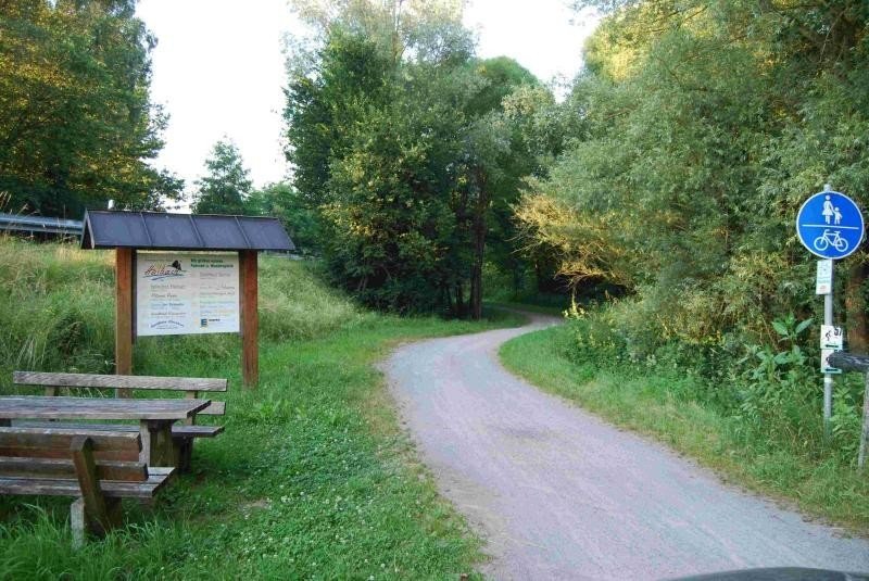
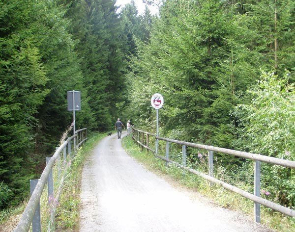
The Donau-Regen bike trail is very well signposte, well kept and easily ridable. The maximum gradient on the mountain sections is 3%. The bike trail is mainly asphalted, only towards Miltach you must expect unsealed paths after Hunderdorf. Orientation boards can be found at the wayside, providing valuable information to bike tourists.
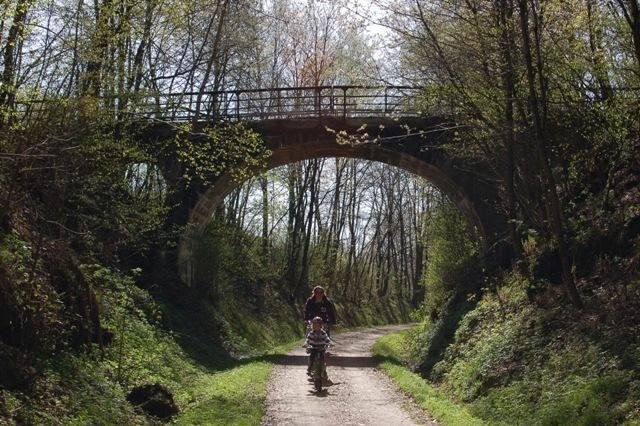
Donau-Regen bike trail is suitable for families, and can be mastered by children as well. Watch out when crossing streets, barriers and bridge pillars. As long as you are careful, this is the perfect path to discover the beauty of the Bavarian Forest.
After the first 9.5 kilometres, you get closer to the first hills. Shortly after, you will be surrounded by gurgling streams, ancient trees, and stunning vies of the Bavarian Forest. You've reached the highest point at 527 km in Streifenau, where the trail starts to slowly descend.
Interesting facts
- You're traveling a distance of 39 km on this strenuous trail. Average length of all bike Trails in Bavaria is 93 km.
- Donau-Regen-Radweg is the the best rated bike trail in Germany.
- Don’t hesitate to take your kids along on this strenuous bike Trails.
- If you get hungry along the way, there are places to rest and get food. Nevertheless it’s recommended to also have enough water and food in your backpack when hiking or biking.
Highlights of the tour
Crossing river Mehnach's gorge on a high wooden bridge is one of the highlights. At Altrandsberg resting spot you can take a look at information boards and enjoy the panoramic view of Altrandsberg Palace.
Getting here
Coming from Nuremberg on motorway A 6, take the exit at Amberg-Ost. Continue on the B 85 (Bundesstraße 85) leading to Schwandorf. Take the A 93 leading to Regensburg and exit at Schwandorf-Cham. Continue on the B 85 to Cham in the direction of Passau until you exit at Miltach.
Coming from Regensburg on motorway A 3, take the exit at Straubing. Continue on the B 20 in the direction of Cham. Leave the B 20 just before Cham at the exit Wilting and then follow the signs in the direction of Bad Kötzting until you reach Miltach.
Coming from the airport in Munich on motorway A 92, stay on the A 92 until you get to the exit Landau a. d. Isar. Then, continue driving on B 20 in the direction of Cham until you exit at Wilting (just before Cham) and follow the signs on the way to Bad Kötzting until you come to exit at Miltach.