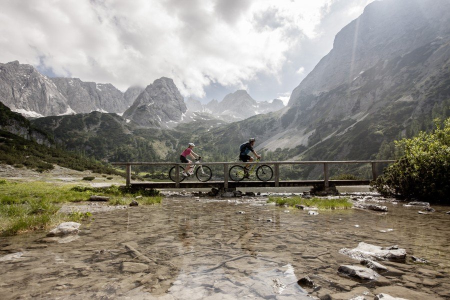
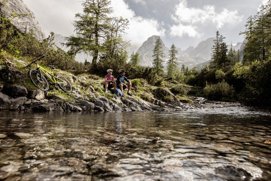
Bike Trail Seebensee in the Tyrolean Zugspitz Arena: Position on map

Bike Trail Seebensee

Ehrwald

Seebensee

Elevation

Min: 1,106 m
Max: 1,671 m
Uphill: 716 m
Downhill: 158 m
  • Upload GPS data
Rate the Bike Trail
0
(1)
Travel Deals & Tips
Advertisement
Advertisement
Advertisement

Facts

Difficulty
Advanced
Distance: 8.82 km
Duration:2 h 30 min
Min: 1,106 m
Max: 1,671 m
Uphill: 716 m
Downhill: 158 m

Best Season

Suitable for

Mountainbike
Trekkingbike

Interesting facts

Read more
  • You're traveling a distance of 9 km on this strenuous trail. The bike trail is therefore not too long. The average length of all bike Trails in Tyrol is 35 km.
  • You're facing an uphill climb of 716 vertical meters on this bike trail. The high point of the bike trail is located at an elevation of 1,671 m.
  • There are places to buy beverages and food along the track. However it’s always recommended to bring enough water and food along with you.

Contact

Tiroler Zugspitz Arena
Schmiede 15
A-6632
Ehrwald
E-Mail
%69%6e%66%6f%40%7a%75%67%73%70%69%74%7a%61%72%65%6e%61%2e%63%6f%6d
+43 5673 20 000
Travel Deals & Tips
Advertisement

Comments

Rate the Bike Trail
No posts available yet:
  • Nobody has posted on the wall of the Bike Trail "Seebensee" yet
  • Be the first to comment!
Login with Google+
  • Share your personal insider tip and create new entries
  • Explore fantastic outdoor destinations when and where you want
  • Find your dream destination or discover the world on the interactive map