Route description
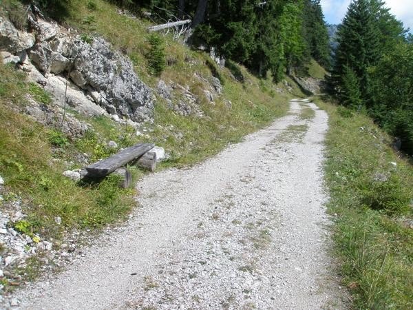
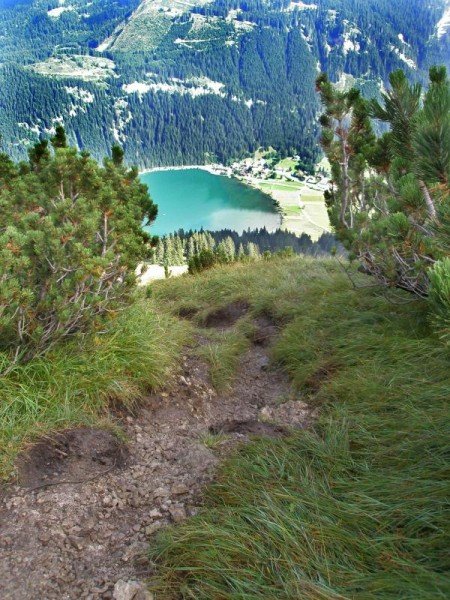
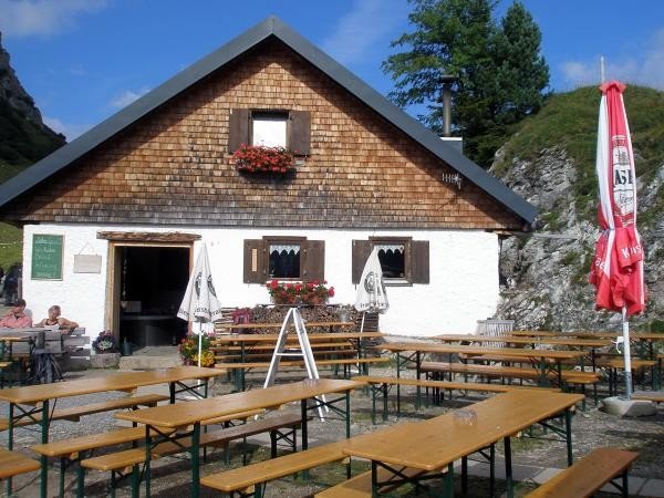
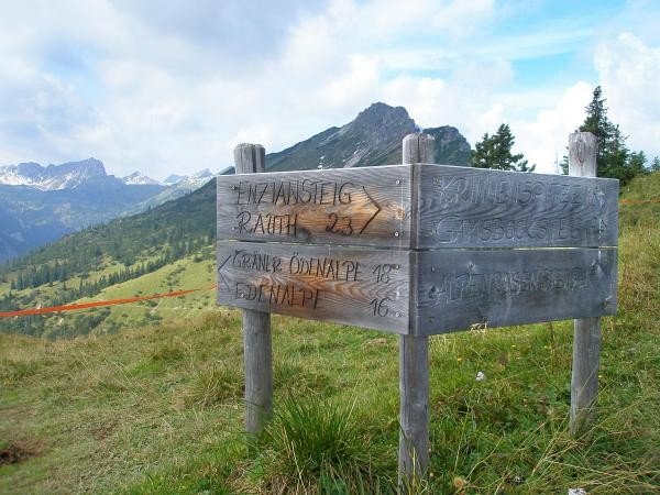
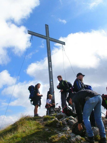
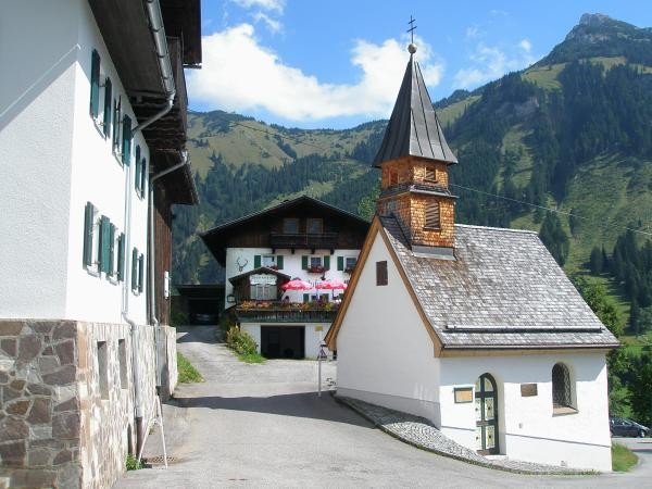
In the direction of Nesselwängle, you'll find an under-crossing on the opposite side of the road that you need to pass. Towards the left you'll be heading to Rauth. First, you'll be hiking on a dirt road passing a chapel, then continue on an asphalted road getting closer to the houses of Rauth. In the centre of the town, you'll find a road sign leading towards the Enziansteig. You'll be gaining height while carrying on through a forest, crossing a forest road, then continuing on a slightly ascending, grass covered slope just under the Krinnenspitze. At the fork in the road, turn left. After the detour to the hut, continue uphill towards to the peak of the Krinnenspitze. The reward for this effort is the fantastic view one can enjoy being up here. Via the steeply ascending Alpenrosensteig you'll get to the Alpenrosenweg and continue further towards the Krinnenalpe. From here you'll get to the mountain station of the Krinnenalpbahn (Alpine railway) and further on to the Meranersteig. On this ascent, you'll get to the forest path towards Rauth. Hike downhill on the already known asphalted road, the short part on the dirt road again and here you are at the car park east of Nesselwängle.
Interesting facts
- You're traveling a distance of 19 km on this strenuous trail. The average length of all hikes in Tyrol is 15 km.
- You're facing an uphill climb of 1105 vertical meters on this hike. The high point of the hike is located at an elevation of 2,000 m.
- Sturdy hiking boots are recommended on this track. There are places to buy beverages and food along the track. However it’s always recommended to bring enough water and food along with you.
Equipment
The Alpine map A299 “Tannheimer Tal” is available in all tourist offices in the Tannheimer valley.
Getting here
By car
Coming from Reutte, you'll drive until Weißenbach am Lech, then change onto the B199 and keep driving in this direction until Nesselwängle. You'll find the car park on the right when entering the town.
Coming from Sonthofen via Bad Hindelang, you'll take the B308 and the B199 until you reach Nesselwängle. The car park is located at the town's exit on the left.