Route description
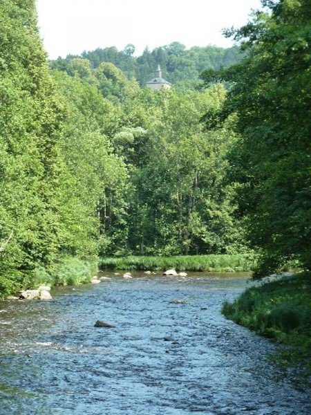
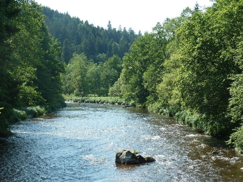
Along River Ilz
Starting at the car park in Kalteneck, take the hiking trails Ilztalwanderweg and Goldsteig through the town. Pass the train station, get on a path alongside river Ilz and walk upstream. After a little while the river gets wilder and the path narrows, but it leads continuously alongside the romantic river Ilz. Shortly before the opening of Wolfensteiner Ohe and Ilz, take the canal Mühlenkanal to get to a tarred road.
To Schrottenbaum Mill Via Ilztalwanderweg
Hike past the mill Aumühle and across a rack to Wolfensteiner Ohe (river), which you follow downstream till you reach its opening into river Ilz. Now continue on Ilztalwanderweg path towards river Ilz. Further down the trail you will leave the forest behind and cross a street to get to Schrottenbaum Mill where you can have some food and rest. If you want to continue immediately, the path leads right through the beergarden
Steep Uphill Via Schneider Mill
Continue following river Ilz. The turning point is located at Schneider Mill. Cross river Ilz on a bridge. After following the street about half a kilometre upwards you will reach guesthouse Hammerschmiede. At the end of the bridge turn left and continue walking alongside river Ilz. The path leads steeply upwards.
Back to Schrottenbaum Mill and the Starting Point
The path ends at Schrottbaum Mill, where you cross river Ilz, do not follow the known path but turn right to get to the other side of the river. The path will guide you along river Ilz to Kalteneck. Across a wooden bridge you get back to Kalteneck and across river Ilz back to the starting point of this tour.