Hike Marmot Educational Trail Bettmeralp in Brig / Aletsch: Position on map

Hike Marmot Educational Trail Bettmeralp

Marmot Educational Trail Bettmeralp

Elevation

Min: 1,922 m
Max: 2,218 m
Uphill: 317 m
Downhill: 227 m
  • Upload GPS data
About the author
last update on 2 Apr 2024
Rate the Hike
0
(0)
Travel Deals & Tips
Advertisement
Advertisement
Advertisement
Facts
Difficulty
Easy
Distance: 4.42 km
Duration:1 h 30 min
Min: 1,922 m
Max: 2,218 m
Uphill: 317 m
Downhill: 227 m

Trail characteristics

Hiking trail

Interesting facts

Read more
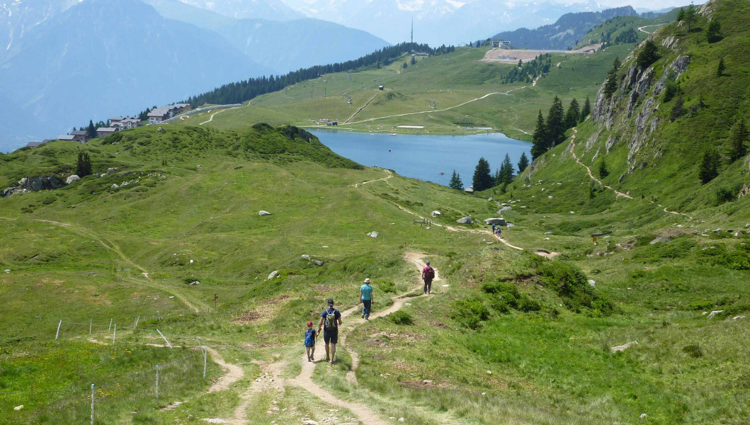
  • You're traveling a distance of 4 km on this easy trail. The hike is therefore not too long. Average length of all hikes in the Valais is 12 km.
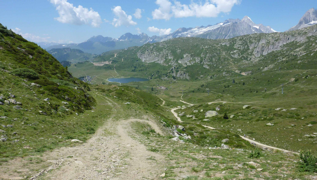
  • You're facing an uphill climb of 317 vertical meters on this hike. The hike takes you to an elevation of 2,218 m.
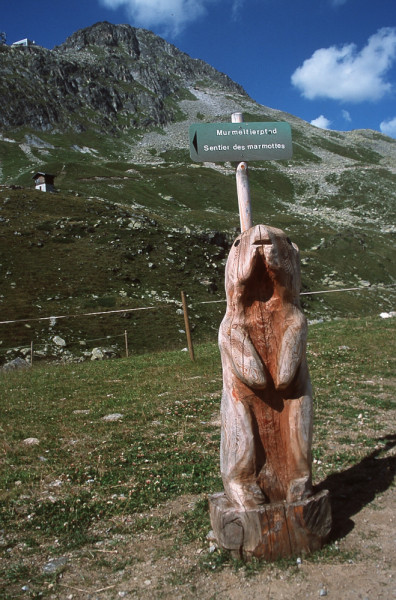
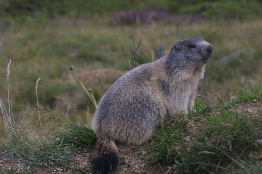
  • The hike is one of the family friendly trails in the region. The hike is also perfect if the kid’s wanna bring their dog on the trip.
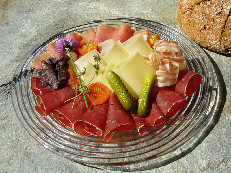
  • You shouldn’t forget to bring your hiking boots. There are some sections on the trail where sturdy footwear is required. If you get hungry along the way, there are places to rest and get food. Nevertheless it’s recommended to also have enough water and food in your backpack when hiking or biking.

Contact

Aletsch Arena AG
Furkastrasse 39
3983
Mörel-Filet
E-Mail
%69%6e%66%6f%40%61%6c%65%74%73%63%68%61%72%65%6e%61%2e%63%68
Phone+41 27 928 58 58
Fax+41 27 928 58 59
Travel Deals & Tips
Advertisement

Comments

Rate the Hike
No posts available yet:
  • Nobody has posted on the wall of the Hike "Marmot Educational Trail Bettmeralp" yet
  • Be the first to comment!
Login with Google+
  • Share your personal insider tip and create new entries
  • Explore fantastic outdoor destinations when and where you want
  • Find your dream destination or discover the world on the interactive map