Hike Trout Trail in Stavelot in Liège: Position on map

Hike Trout Trail in Stavelot

Trout Trail in Stavelot

Elevation

Min: 278 m
Max: 426 m
Uphill: 190 m
Downhill: 33 m
  • Upload GPS data
About the author
last update on 6 Aug 2019
Rate the Hike
0
(1)
Travel Deals & Tips
Advertisement
Advertisement
Advertisement
Facts
Difficulty
Moderate
Distance: 11.79 km
Duration:4 h
Loop trail
Min: 278 m
Max: 426 m
Uphill: 190 m
Downhill: 33 m

Trail characteristics

Asphalt
Dirt road
Forest track
Hiking trail

Webcams

Unfortunately, there is no webcam available yet!

Route description

Stavelot Abbey
CC BY-SA 3.0   Jean-Pol GRANDMONT - Eigenes Werk Stavelot Abbey

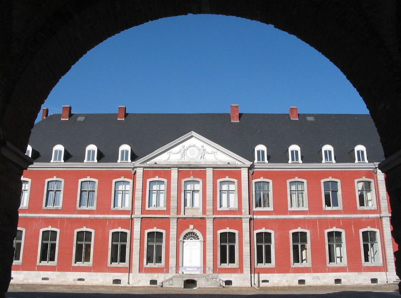
This hike takes you on a circular tour near the Belgium town of Stavelot. The trail starts at Stavelot Abbey. You proceed to the Warche rocks (Rocher de Wrache). You eventually return to Stavelot via Challe.

Sturdy shoes necessary
Overnight stay available

Where to eat

There are no opportunities to buy food or drinks on the way, so you should make sure to have sufficient provisions.

Interesting facts

Read more
  • You're traveling a distance of 12 km on this moderate trail. Average length of all hikes in Wallonia is 11 km.
  • You shouldn’t forget to bring your hiking boots. There are some sections on the trail where sturdy footwear is required.

Video

Ardennen - Stavelot | 01:12

Contact

Office du Tourisme de Stavelot
Place Saint Remacle 32
4970
Stavelot
E-Mail
%69%6e%66%6f%40%74%6f%75%72%69%73%6d%65%73%74%61%76%65%6c%6f%74%2e%62%65
0032 80 86 27 06
Travel Deals & Tips
Advertisement

Comments

Rate the Hike
No posts available yet:
  • Nobody has posted on the wall of the Hike "Trout Trail in Stavelot" yet
  • Be the first to comment!
Login with Google+
  • Share your personal insider tip and create new entries
  • Explore fantastic outdoor destinations when and where you want
  • Find your dream destination or discover the world on the interactive map