The webcam is located at the mountain hut Maisalm near Saalbach and looks at the opposite Schattberg.
59 minutes ago
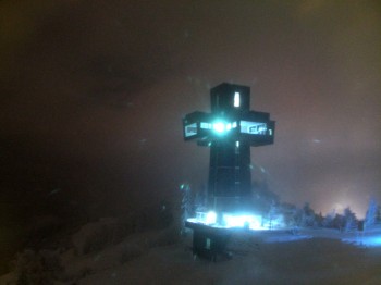
The Jakobskreuz summit cross is located on the Buchensteinwand in the Pillerseetal holiday region. With a unique view from the panoramic platform,...
temporarily unavailable
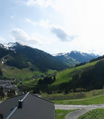
From Bichlalm lift's top station, this webcam provides a great view over the Alpine landscape around Kitzbühel.
18 minutes ago
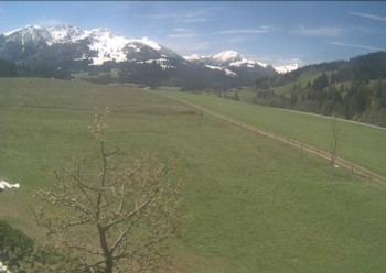
View of the Alpine panorama from Streuböden gondola's mid station in Fieberbrunn.
1 hour ago
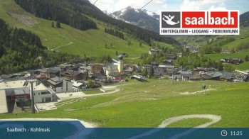
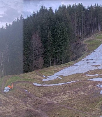
Here you see the view from Kohlmaiskopf in Saalbach-Hinterglemm. The camera pans over Kohlmaisgipfelbahn gondola as well as part of the...
60 minutes ago
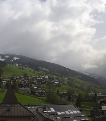
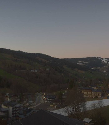
Panoramic view of Saalbach from Alpinresort.
temporarily unavailable
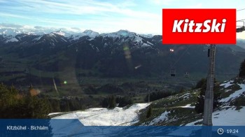
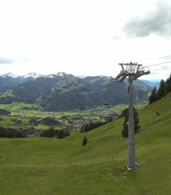
This webcam is located at the top station of the chair lift Bichlalm. You can see the restaurant BichlAlm and the city of Kitzbühel with the...
44 minutes ago
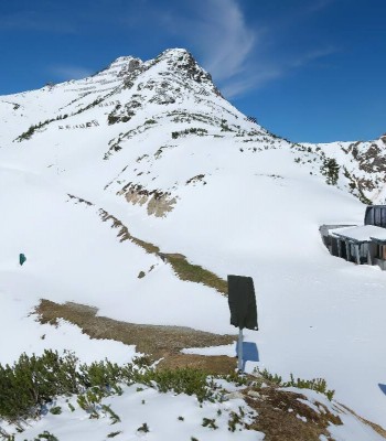
Located at the top of the Lärchfilzkogel (1.645m) near Fieberbrunn this webcam faces the Kitzbühel Alps.
temporarily unavailable
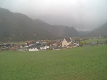
See the view of Waidring in Tyrol
temporarily unavailable
Enjoy the view of the valley and the village Hinterglemm from the Hotel Talblick.
49 minutes ago
In the foreground you can still see some houses of the village Hinterglemm. In the background you can spot the Zwoelferkogel mountain.
temporarily unavailable
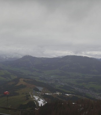
Located at Hochfilzen you can spot the mountain Buchensteinwand
2 days ago
Your view at the holiday appartements Schreder in Hochfilzen
17 minutes ago
Enjoy the panoramic view of valley station Pillersee
39 minutes ago
Check out the different views of the valley that the webcam in Hinterglemm shows you.
37 minutes ago
Your view over the valley and Saalbach from Kohlmaisgipfelbahn.
30 minutes ago
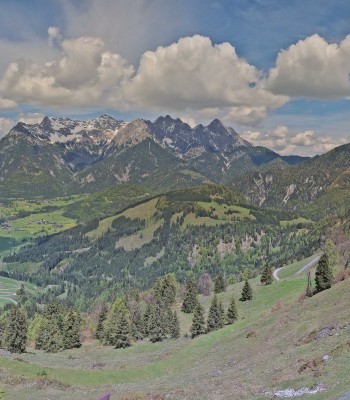
Check out the panorama from the top of the Lärchfilzkogel at an elevation of 1645 meters.
temporarily unavailable
This webcam shows you the view at the top station of Reckmoos chairlift.
42 minutes ago
Your view at the base station of Fieberbrunn.
temporarily unavailable
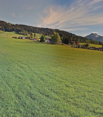
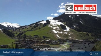
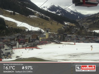
You can enjoy the view over the Mountain village 'Saalbach' which is located at an elevation of almost 1000m.
temporarily unavailable