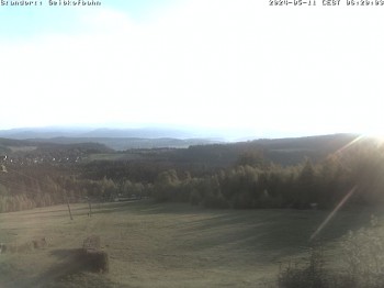
Beautiful view to Bodenmais and the Bavarian Forest from Silberberg mountain.
28 minutes ago
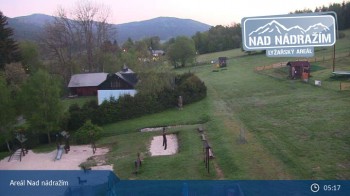
The webcam shows the ski lifts in the area Nad nádražím near Železná Ruda near the German border.
56 minutes ago
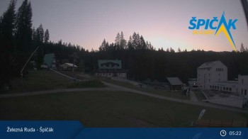
You can see the base station of the chairlift at Špičák near Železná Ruda.
45 minutes ago
Have a look at Lalling in the Bavarian Forest. It is located 20 km east of Deggendorf.
41 minutes ago
Webcam located at Center of Cross Country Skiing in Bodenmais.
28 minutes ago
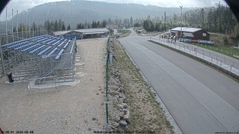
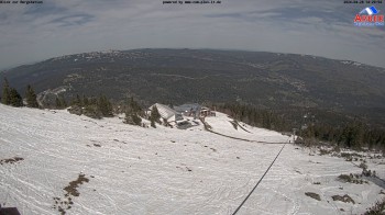
Check out the ARBER Hohenzollern ski stadium, which was named after the Prince of Hohenzollern who owns the land on which it was built.
32 minutes ago
This webcam shows the small city Zwiesel in the Bavarian Forest.
34 minutes ago
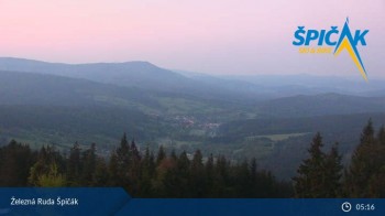
Enjoy the view from top of the Špičák in the Czech Republic.
38 minutes ago
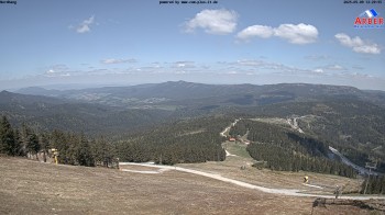
This webcam shows the view from the top of the Großer Arber to the Northwest. With clear weather conditions you may see the Hohenbogen as well as...
59 minutes ago
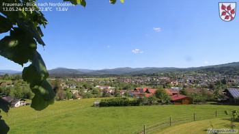
Spot the view over the Bavarian Forest near Frauenau.
30 minutes ago
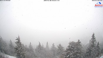
This webcam shows you the view of Großer Arber mountain direction south (Bavarian Forest).
59 minutes ago
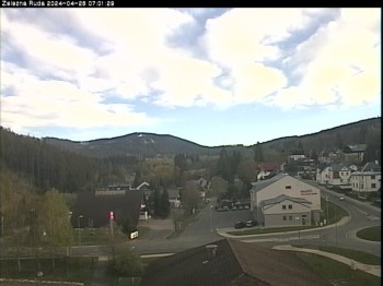
View over Zelezna Ruda
33 minutes ago
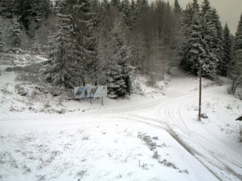
View of mountain hut "Landshuter Haus" near Oberbreitenau.
temporarily unavailable
Located at town hall Bischofsmais you can look direction Kurpark / Teufelstisch
35 minutes ago
Have a look at ArBär kids area of the ski resort at Arber mountain
temporarily unavailable
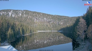
Over lake "Großer Arbersee" you look direction "Arberseewand" - Bavarian Forest
59 minutes ago
Enjoy the view of Großer Arber mountain in a northeasterly direction on the Bavarian Forest and ArberLand.
59 minutes ago
This webcam is located at the golf course in Deggendorf, Lower Bavaria.
31 minutes ago
View at the Baroque Onion Dome of the Monastery of Metten in Lower Bavaria.
temporarily unavailable
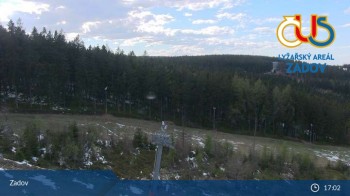
Here you can spot the winter holiday region Zadov-Churanov. It is located at the border of the Bohemian Forest National Park.
57 minutes ago
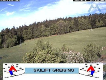
Have a look at the slope Greising near Deggendorf.
31 minutes ago
Here you can see the chair lift in Špicák.
57 minutes ago
Webcam down the valley from Geisskopf in Bavarian Forest.
21 minutes ago
Located at the mountain station of Geisskopfbahn you can enjoy the view over the valley.
21 minutes ago
Here you can see the top station of arber gondola near Bodenmais
24 minutes ago