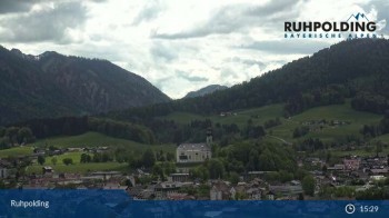
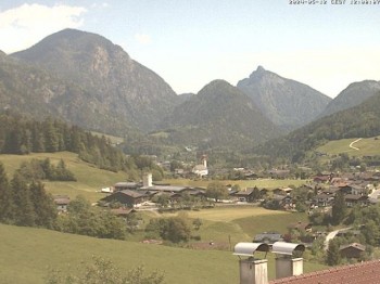
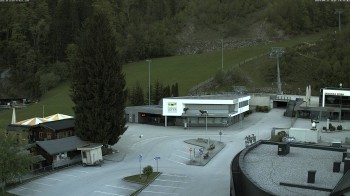
Webcam located in Ruhpolding, Upper Bavaria. You can see the village and the Chiemgau mountains surrounding.
1 hour ago
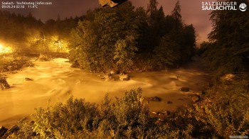
This webcam is located at Teufelssteg in Lofer. You can see the Saalach river.
53 minutes ago
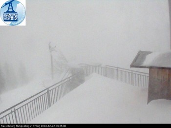
Have a look at the starting point for hang gliding at mount Rauschberg near Ruhpolding in Bavaria. You can get to the summit by cable car.
temporarily unavailable
The webcam shows the top station at the mount Rauschberg near Ruhpolding, where a small christmas market takes place at the first two Advents...
temporarily unavailable
The webcam shows the Miesenbacher valley from the mountain inn Steinberg Alm.
56 minutes ago
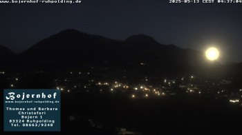
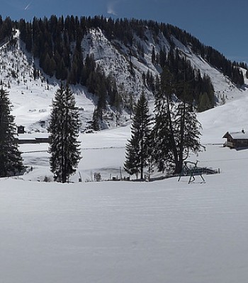
View towards Ruhpolding from the accommodation "Bojernhof".
56 minutes ago
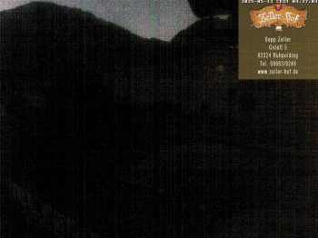
Live pictures from Zeller Hof accommodation in the holiday region Chiemgau.
56 minutes ago
The webcam is situated at the accommodation "Beim Waicher" in the south of Ruhpolding.
13 hours ago
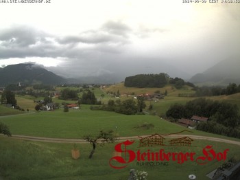
South view from Hotel Steinbergerhof towards Ruhpolding, Chiemgau.
1 hour ago
Live pictures from Chiemgau Arena where the IBU Biatholn Worldcup takes place every year.
1 hour ago
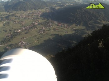
View from Rauschberg summit towards Ruhpolding in the Chiemgau region.
56 minutes ago
This webcam shows you live pictures of the peak of Heutalberg and it's surroundings.
1 hour ago
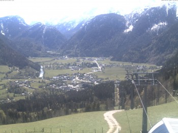
This webcam shows you the view from the Unkenberg towards the village Unken (Salzburger Land, Austria).
2 hours ago
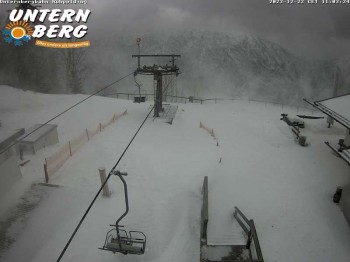
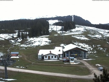
View from the top station of the Unternberg lift in Ruhpolding
temporarily unavailable
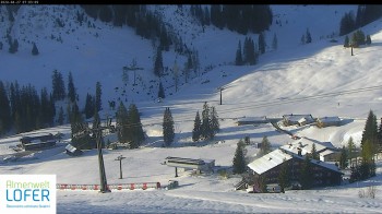
Here you can view direction the mountain station of the 8 seated chairlift Schwarzeck at ski resort Almenwelt Lofer.
3 hours ago
Here you can spot the mountain station of Almbahn II and the valley station of Family Express at the ski resort Almenwelt Lofer.
3 hours ago
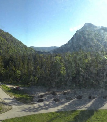
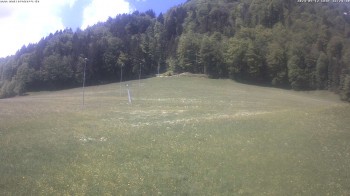
Webcam at the western mountain in ruhpolding. you can see the area of ski pistes and the t-bar-lift.
57 minutes ago
view of Winklmoosalm
5 hours ago
View to the leita stu`m, a restaurant at the western mountain in ruhpolding
57 minutes ago
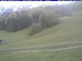
Here you can see the mountain hut "Kessel-Alm" in Inzell
1 hour ago
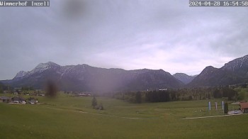
Enjoy the view of the Inzell valley
5 hours ago
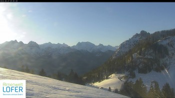
From alp Lofer you can see the Alps of Berchtesgaden.
3 hours ago
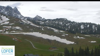
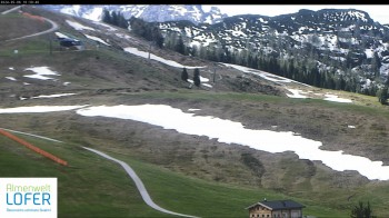
Located at Almenwelt Lofer you can view direstion Grubhörndl mountain, the highest peak of Loferer Alp.
3 hours ago
Panorama view of Winklmoosalm near Reit im Winkl.
1 hour ago
View of the Scheibelberg
5 hours ago
Panoramic view overlooking the Loferer Alm westwards to the mountain station of Family Express and Schönbühel chairlift (1.628 meters). In the...
3 hours ago
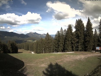
Here you can spot the hiking trail and cross country skiing trail at Almenwelt Lofer.
3 hours ago
You view in a westerly direction on the mountain station of the 8 seated chairlift Family Express.
3 hours ago
Located at the mountain station of Almbahn I chairlift you look direction the villages of Lofer and St. Martin. In the background you can spot the...
3 hours ago
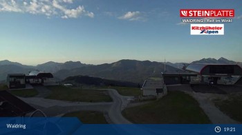
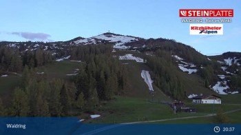
Through this webcam located on Kammerkör in Waidring, you can see the mountain Steinplatte.
1 hour ago
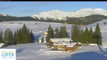
Enjoy the panoramic view of Almenwel Lofer.
28 minutes ago
View of moutnain Steinplatte from Bäreck.
1 hour ago