Hike

Hike "Zirbenweg"

"Zirbenweg"

Elevation

Min: 1,965 m
Max: 2,059 m
Uphill: 289 m
Downhill: 198 m
  • Upload GPS data
About the author
last update on 19 Feb 2020
Rate the Hike
2
(5)
Travel Deals & Tips
Advertisement
Advertisement
Advertisement
Facts
Difficulty
Easy
Distance: km
Duration:2 h 30 min
Min: 1,965 m
Max: 2,059 m
Uphill: 289 m
Downhill: 198 m

Best Season

Trail characteristics

Dirt road
Forest track
Hiking trail

Interesting facts

Read more
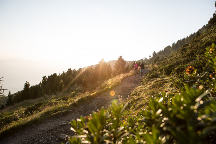
  • You're traveling a distance of 6 km on this easy trail. The hike is therefore not too long. The average length of all hikes in Tyrol is 15 km.
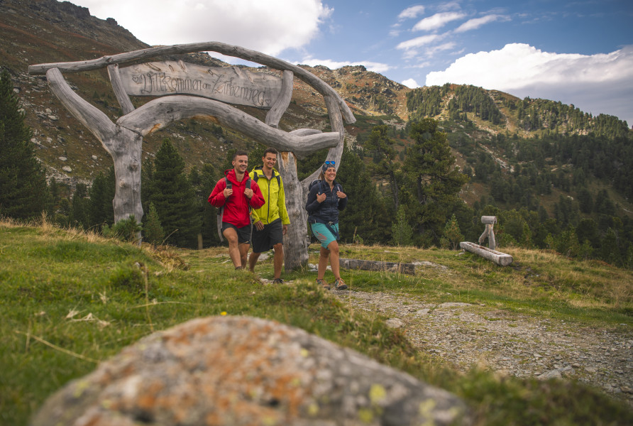
  • "Zirbenweg" is among the 10 best rated Hikes in Tyrol.
  • You're facing an uphill climb of 289 vertical meters on this hike. The highest point of the track is 2,059 m above sea level.
  • Don’t hesitate to take your kids along on this easy hikes. What’s even better: You can also bring the family’s best friend on this dog friendly hike. (See all dog friendly hikes in Tyrol.)
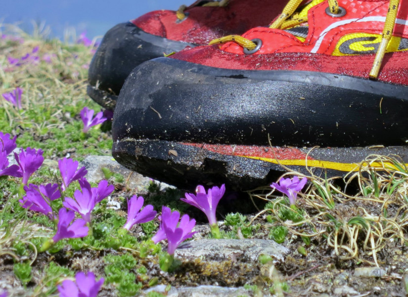
  • Make sure to bring sturdy footwear on this track. Hiking boots are highly recommended. There are places to buy beverages and food along the track. However it’s always recommended to bring enough water and food along with you.

Contact

Tourismusverband Region Hall-Wattens
Unterer Stadtplatz 19
A-6060
Hall i.T.
E-Mail
%69%6e%66%6f%40%68%61%6c%6c%2d%77%61%74%74%65%6e%73%2e%61%74
Phone+43 5223 45544-0
Fax+43 5223 45544-20
Travel Deals & Tips
Advertisement

Comments

Rate the Hike
No posts available yet:
  • Nobody has posted on the wall of the Hike ""Zirbenweg"" yet
  • Be the first to comment!
Login with Google+
  • Share your personal insider tip and create new entries
  • Explore fantastic outdoor destinations when and where you want
  • Find your dream destination or discover the world on the interactive map