Route description
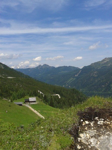
At the bus stop Felseralm in Obertauern you find a parking space. Along path Nr. 23 you hike to the Felseralm. Take a right here - the trail "Hirschwandsteig" (path Nr. 25) beginns here and lead you to the Südwienerhütte. Here you have a possibiliy to make a break and have some refreshments. The way back to the valley is now a different one. After a few minutes turn left to the path Nr. 711. You come to the "Untere Pleißlingalm" and finally to the highway chapel in Flachauwinkl.
Where to eat
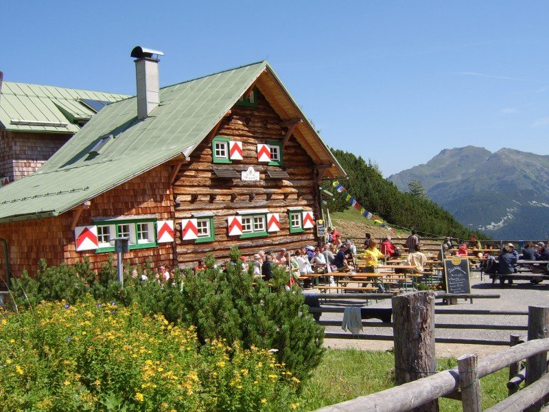
Possibilities for lunch you have at the Südwienerhütte or on the way back to the valley at the "Unterer Pleißlingalm". If you have time for a short side trip you can walk to another hut nearby - Scharfetthütte.
Interesting facts
- You're traveling a distance of 10 km on this moderate trail. The hike is therefore not too long. The average length of all hikes in Salzburg is 15 km.
- You're facing an uphill climb of 417 vertical meters on this hike. The high point of the hike is located at an elevation of 1,796 m.
- Sturdy hiking boots are recommended on this track. There are places to buy beverages and food along the track. However it’s always recommended to bring enough water and food along with you.
Videos
Highlights of the tour
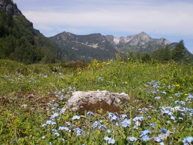
Fantastic hike crossing valleys with wonderful panorama on the surrounding world of mountains which is the Radstädter Tauern.
At the very beginning of the hike you can make a nice detour to the waterfall "Johanneswasserfall" (approximately 10 min. to walk - path Nr. 24).
Variations
An alternative to the "Hirschwandsteig" would be the Wildseesteig, path Nr. 702.
Equipment
Trekking and mountain boots are recommendable because the most of the tour is on a hiking trail. If you want you also can take hiking sticks with you.
Getting here
by car:
From Flachau to Radstadt and from there in direction to Untertauern/Obertauern.
by public transport:
outward journey: Sportwelt-bus to Altenmarkt "Ortsmitte", conection (bus line 511/521/780) to Radstadt and from there in direction to Obertauern, bus-stop "Felseralm".
return journey: Sportwelt-bus from "Flachauwinkl Gasthofalm"
Counter Tour:
outward journey: Sportwelt-bus to "Flachauwinkl Gasthofalm"
return journey: Sportwelt-bus from "Obertauern Felseralm"